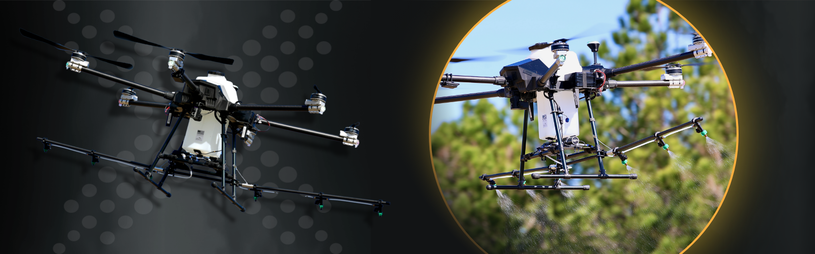
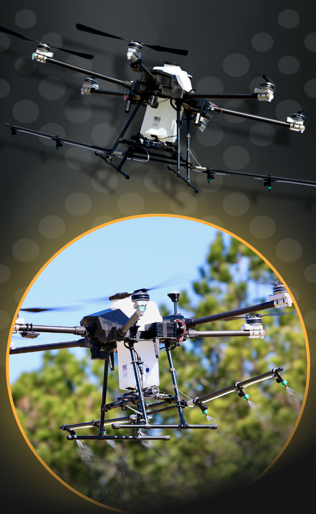
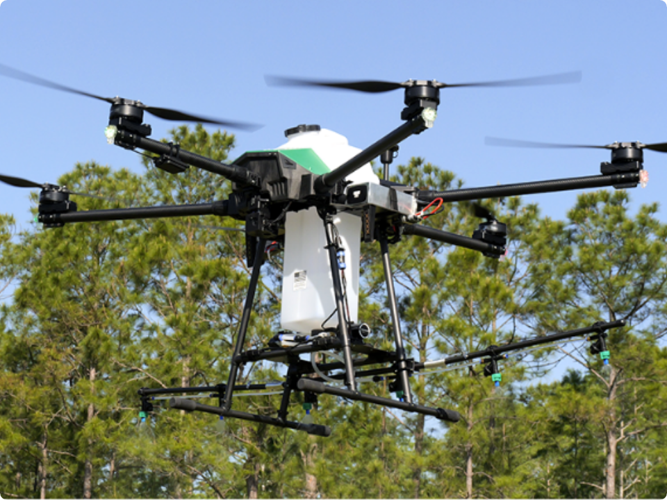
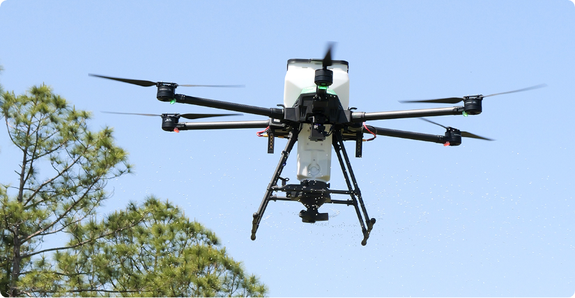
PrecisionVision 40X (Legacy)
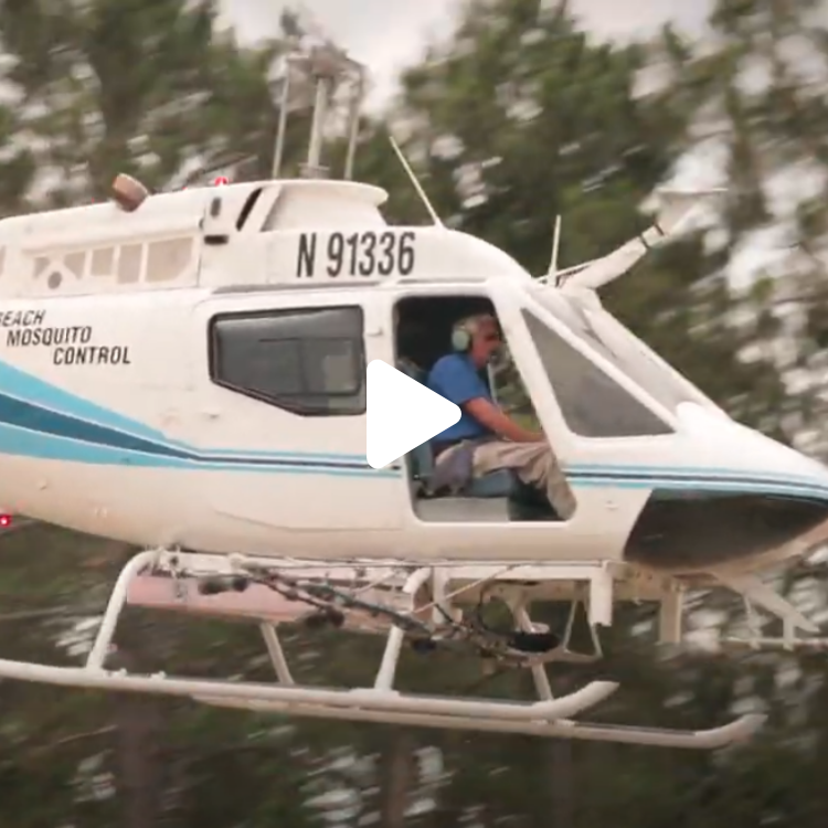
PrecisionVision UAS technologies support operations with aerial inspections, flight planning, and applications. While these drone systems are no longer in production, Central UAS Technologies continues to provide full support and service for all existing units.
Downloads


- Users can define values for swatch width, ground speed, altitude, heading (0-360°), polygon entry and exit points
- Complete flight and spray capabilities in manual or autonomous mode
- Flight data recording of applications stored as shapefiles with the ability to export to any GIS system
- Battery warning and battery critical safety features
- Single click emergency return to land feature
- Pre-set menu and more!
- Polygon Grid
- Customizable Path
- Spot Treatments
- Forward Facing
- Downward Facing
- LiDAR and radar sensors are capable of measuring the distances for obstruction avoidance and terrain following
- Obstacle sensing LiDAR assists with obstruction avoidance by immediately entering UAS into hover flight mode
- Terrain following radar adds a critical layer of precision and safety
- Real-Time Kinetic (RTK) option, provides centimeter precision accuracy horizontally and vertically
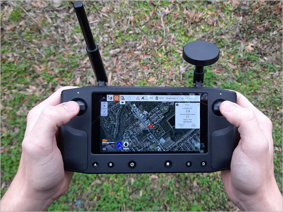
Pre-Set Menu and Autonomous Flight Applications as easy as Ready, Set, Go!
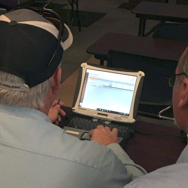
The power of the PrecisionVision GCS is illustrated when preparing for an application mission. Users have manual control options with autonomous capabilities. The ability for settings to be saved, named, and easily selected for future flights allows users to work smarter and faster.
| Granular Payload | UAV Adulticiding | Liquid Payload | |
|---|---|---|---|
| Payload Capacity | 40 lbs | 40 lbs | 40 lbs |
| Swath | 4’ - 90’ | 300′ – 500′ | 4′ – 23′’ |
| Average Acres/Min | 0.1 – 3 Acres/min |
14.5 Acres/min |
0.05 – 0.9 Acres/min |
| Flow Rate | 2 – 20 Lbs/min |
3.4 – 10 Lbs/min |
10 – 320 Lbs/min |
| Digital Spectrum | N/A | DV 0.5 38-45; DV 0.9 < 70 microns |
80 – 2500 microns |
Liquid Payload
Payload Capacity 16pt Bold
40 lbs - 16pt Regular
Swatch
4′ – 23′
Average Acres/Min
0.05 -0.9
Acres/min
Flow Rate
10 - 320
Lbs/min
Droplet Spectrum
80 - 2500;
microns
Granular Payload
Payload Capacity 16pt Bold
40 lbs - 16pt Regular
Swatch
4’ - 90’
Average Acres/Min
0.1 – 3
Acres/min
Flow Rate
2 - 20
Lbs/min
Droplet Spectrum
N/A
UAV Adulticiding
Payload Capacity 16pt Bold
40 lbs - 16pt Regular
Swatch
300′ – 500′
Average Acres/Min
14.5
Acres/min
Flow Rate
3.4 – 10
Lbs/min
Droplet Spectrum
DV 0.5 38-45;
DV 0.9 < 70
microns
See Related Products
PrecisionVision Software
PrecisionVision UAS technologies support operations with aerial inspections, flight planning, and applications