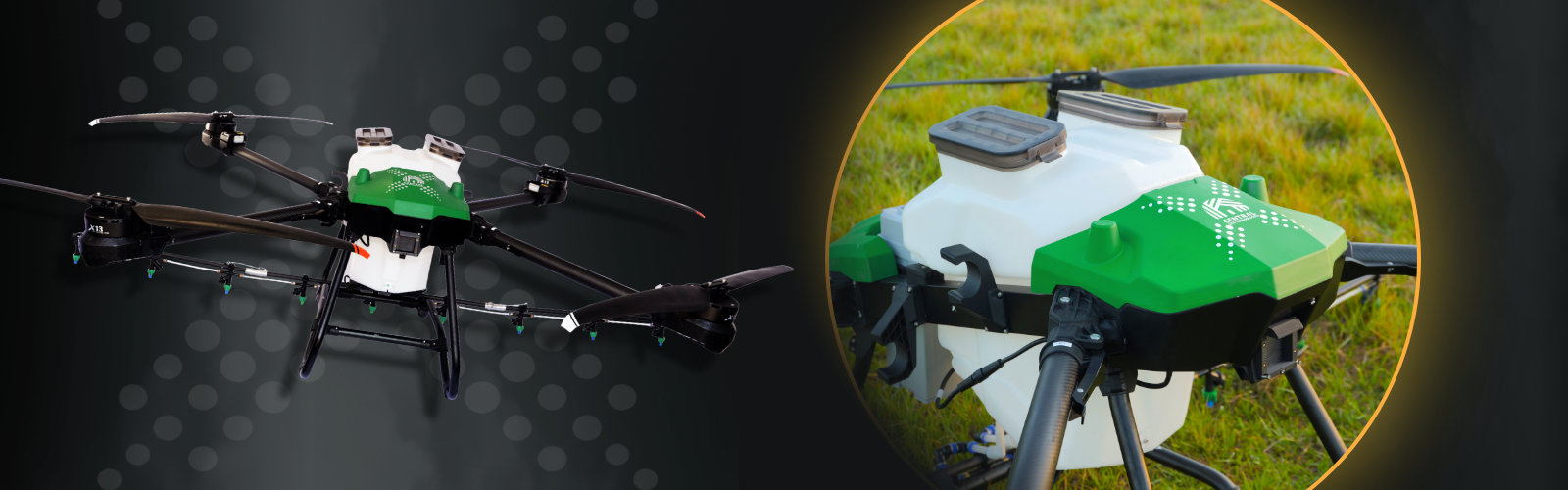
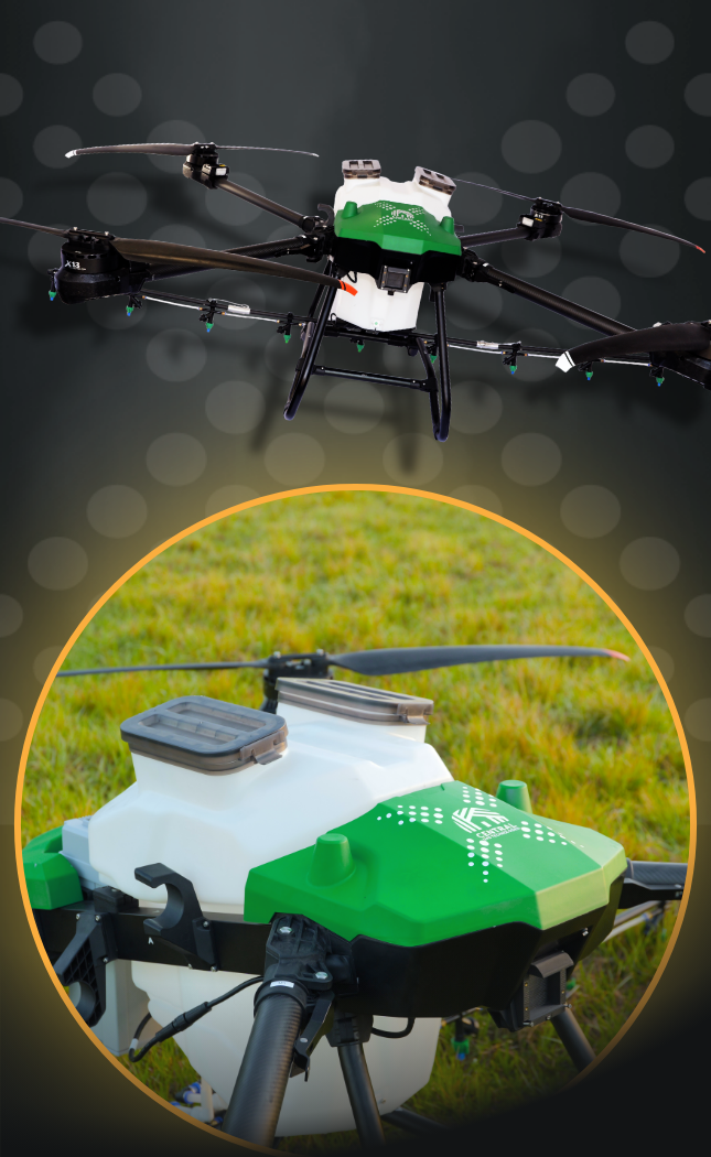
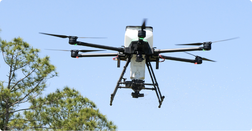
PrecisionVision 100X
Take flight with PrecisionVision® 100X, the newest drone model system from Central UAS Technologies. With a payload capacity of 100 lbs. PrecisionVision® 100X was built to deliver unrivaled versatility and precision for the biggest applications.
Downloads
Product Fact Sheet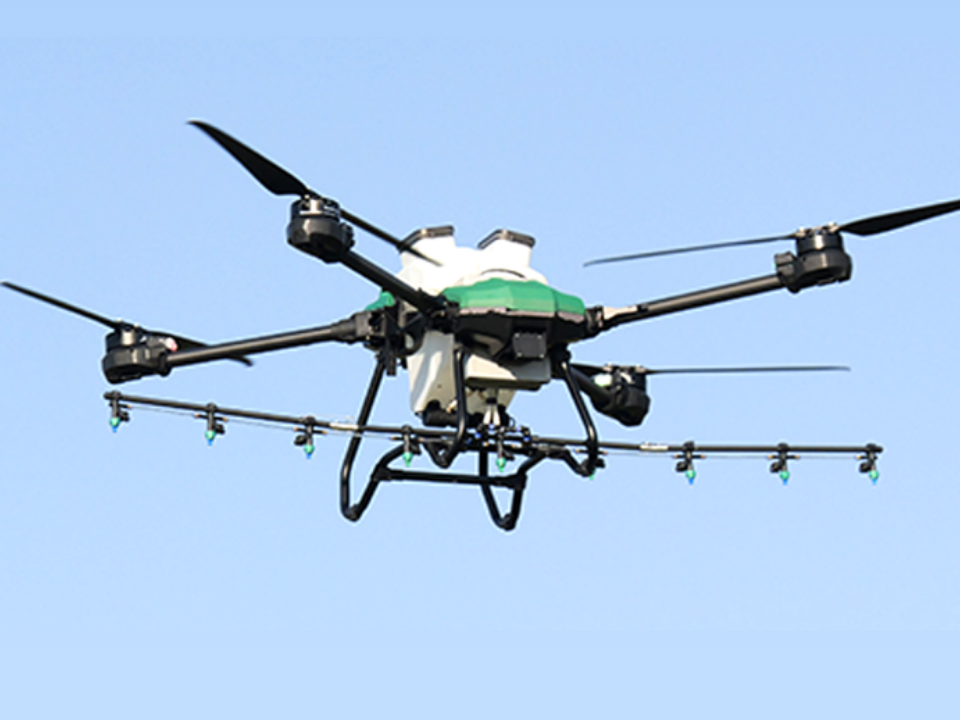


| Granular Payload | UAV Adulticiding | Liquid Payload | |
|---|---|---|---|
| Payload Capacity | 100 lbs | 100 lbs | 100 lbs |
| Swath | 4’ - 90’ | 300′ – 500′ | 1′ – 30′ |
| Average Acres/Min | 0.3 - 4.5 Acres/min |
14.5 Acres/min |
1.25 Acres/min |
| Flow Rate | 2 - 25 Lbs/min |
3.4 – 10 Lbs/min |
10 – 670 Oz/min |
| Droplet Spectrum | N/A | DV 0.5 38-45 microns |
80 – 2500 microns |
Liquid Payload
Payload Capacity 16pt Bold
100 lbs - 16pt Regular
Swatch
1′ – 25′
Average Acres/Min
1.25
Acres/min
Flow Rate
10 – 660
Lbs/min
Droplet Spectrum
80 – 2500
microns
Granular Payload
Swatch
4’ - 90’
Average Acres/Min
0.3 - 4.5
Acres/min
Flow Rate
2 - 25
Lbs/min
Digital Spectrum
N/A
UAV Adulticiding
Payload Capacity 16pt Bold
100 lbs - 16pt Regular
Swatch
300′ – 500′
Average Acres/Min
14.5
Acres/min
Flow Rate
3.4 – 10
Lbs/min
Droplet Spectrum
DV 0.5 38-45
microns
Featured Video

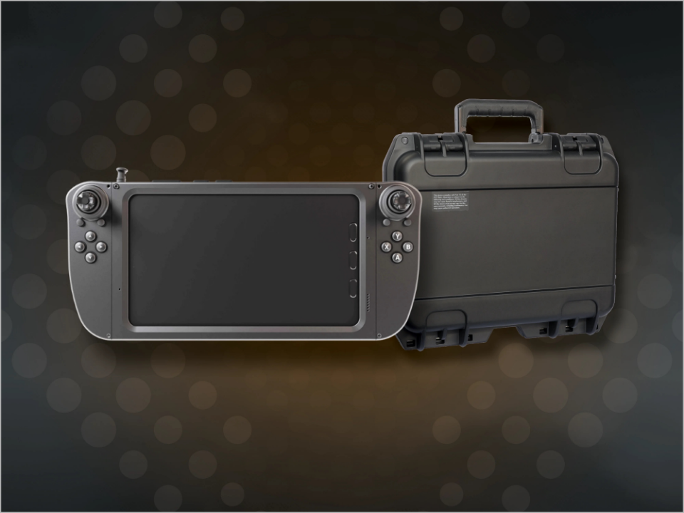
- Large HD capacitive touch screen (5.46” 1080p 16M colors and 1,000 nits)
- High-definition (HD) real-time video camera with integrated motorized gimbal for pitch control, enabling real-time vertical angle adjustment by the user
- Autonomous flight mode controls every aspect of flight and spray applications
- All flight planning, spray parameters, manual and automated control can be performed on the GCS
- Seamlessly supports the import and export of shapefiles
- Easily stores and retrieves hundreds of material configurations, including key parameters like product mix, speed, swath width, altitude, and pump settings
- Complete flight and spray capabilities in manual or autonomous mode
- Flight data recording of applications stored as shapefiles with the ability to export to any GIS system
- Flight safety enhanced with built in operational features such as battery failsafe and lost link, return to land, real-time battery management system
- Single click emergency return to land feature
- Polygon
- Path
- Spots
- Points
Fly the perimeter of a field to create the treatment flight plan. Fly around obstructions to create no fly zones.
- HD real-time video displayed on PrecisionVision Ground Control Station
- High-definition (HD) real-time video camera with integrated motorized gimbal
- LiDAR and radar sensors are capable of measuring the distances for obstruction avoidance and terrain following
- Obstacle sensing LiDAR assists with obstruction avoidance by immediately entering UAS into hover flight mode
- Terrain following radar adds a critical layer of precision and safety
- Real-Time Kinetic (RTK) option, provides centimeter precision accuracy horizontally and vertically
Pre-Set Menu and Autonomous Flight Applications as easy as Ready, Set, Go!
The power of the PrecisionVision GCS is illustrated when preparing for an application mission. Users have manual control options with autonomous capabilities. The ability for settings to be saved, named, and easily selected for future flights allows users to work smarter and faster.
See Related Products
PrecisionVision Software
PrecisionVision UAS technologies support operations with aerial inspections, flight planning, and applications